
Royal Canal Way
Towpath walk from Dublin to Leixlip
Walking trail along the Royal Canal from the city centre to Leixlip, urban towpath, locks, the narrow Deep Sinking cutting and open farmland. Free to walk.
Contents
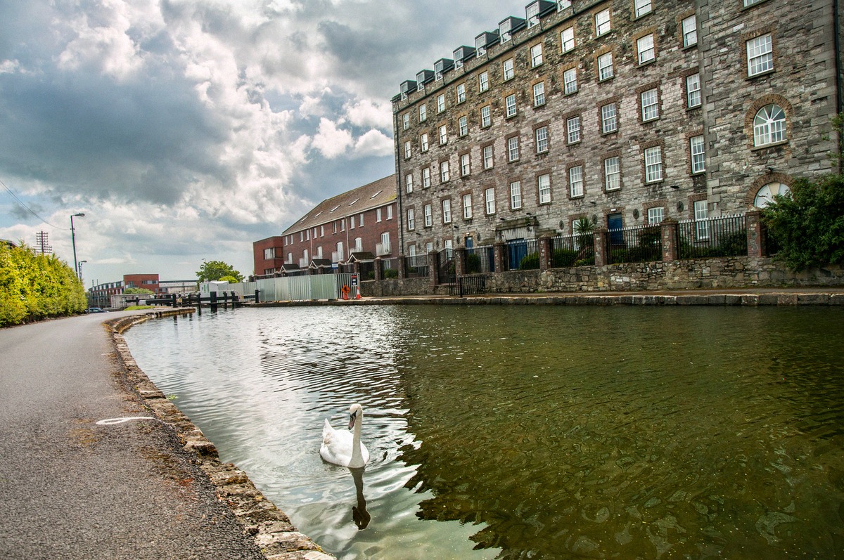
The Royal Canal Way is a National Waymarked Trail that follows the towpath of the Royal Canal, the narrow path along which horses once towed barges. The full waymarked trail (a yellow arrow on a black background, managed by Waterways Ireland) runs for around 144 to 146 kilometres from the 1st Lock in Ashtown all the way to Cloondara in County Longford, and is graded "Easy", flat, with no significant climbs. For a day out from Dublin, the first stretch as far as Leixlip is the one to walk. The trail is freely accessible and there is no admission charge.
The split below into a city section and a rural section is editorial, not an official trail marking. It helps make sense of the character of the two halves, though: the first part is an urban canal with locks and industrial architecture, the second a rock cutting followed by open farmland.
The city section to Ashtown
The first part starts at Newcomen Bridge at the 1st Lock on North Strand Road, Dublin 1 (a "lock" here means a canal lock, not a castle gate). Following the towpath on the south side, you pass Clarke's Bridge with a view over Croke Park, continue over Clonliffe Bridge, and cross to the north side at Binns Bridge from the 2nd Lock. The reason for Croke Park's fame becomes obvious soon after: the next few locks pass right by Mountjoy Jail, and if you know the ballad "The Auld Triangle", this is where it plays in your head.
The path continues past Cross Guns Bridge to the 6th Lock, where a ruined lock-keeper's cottage stands, then on past Broome Bridge and Reilly's Bridge to Longford Bridge, where the city section ends. From here, Ashtown station is close by for the train back into the centre, or you could stop first for a hearty bite at the Halfway House pub. An independent measurement puts this stretch at around 7.5 kilometres, which with stops takes roughly 2 to 2.5 hours.
The rural section to Leixlip
Beyond Longford Bridge, the path crosses back to the south side. After more locks you pass the disused Ranelagh Bridge and Dunsink Lane Bridge, from where you can occasionally glimpse the observatory. At the M50 crossing things get briefly dramatic: here the canal crosses Dublin's orbital motorway, with a bypass roundabout and a railway line squeezed in close together. At Talbot Bridge stand old mills that are now used as flats.
In the Dublin 15 area, between Castleknock after the 12th Lock and Clonsilla, lies the best-known stretch: The Deep Sinking. Because the canal here was cut deep into the rock, the towpath runs in places eight to nine metres above the water, narrow and exposed. The name is an established historical name for the spot, not an official trail designation. How dangerous the section can be is shown by the 1845 disaster, when a night passenger boat ran onto rocks here and 16 people died. Full attention is needed, the path is narrow and can be slippery.
Beyond the cutting, the trail opens out again. At Callaghan Bridge stands the old Clonsilla signal box, and shortly after that the remains of an old railway bridge, and almost without transition, open farmland begins. At Collins Bridge lies the site of the Royal Canal Amenity Group, which has maintained and developed the canal as a linear park since it was founded in 1974. The day walk ends at Cope Bridge by the GAA pitch. From here you can take the train back or walk down into the small town of Leixlip, the birthplace of Guinness (Arthur Guinness first brewed here in 1756). Main Street has several pubs and restaurants, including the Salmon Leap Inn and Arthur's Bar.
Surface, safety and season
The trail is flat but is not a fully surfaced path throughout. It runs over grassy towpaths, gravel and, in places, tarmac; some stretches get muddy, and around 9 kilometres (about 12 per cent of the full trail) run along local roads. Sturdy footwear is essential, especially on the slippery sections at Deep Sinking.
- Best time: spring to autumn, in dry weather and daylight. In winter, short daylight hours and muddy stretches make the walk harder going; in high water, parts of the towpath can be temporarily difficult to pass.
- Daylight: some sections are isolated, only walk them in daylight.
- Dogs: allowed on a lead, and owners must clean up after them.
- Latest update: in May 2026, Waterways Ireland carried out repairs to the Deep Sinking towpath near Coolmine (removing 75 dead trees, renewing around 700 metres of towpath, and improving sightlines). The trail has been fully reopened since 26 May 2026; further Greenway upgrade works are still delayed.
For up-to-date weather guidance, see the Dublin weather guide.
Getting there and practicalities
The starting point, Newcomen Bridge, is central on North Strand Road in Dublin 1 and easy to reach by Dublin Bus. Ashtown, at the end of the city section, sits on the Maynooth commuter rail line (roughly every half hour, not the DART line), which also serves Leixlip, so the walk can be started and finished flexibly at several bridges. For tickets and fares, see the Leap Card guide; for an overview of trains and buses, see the public transport guide.
Waterways Ireland, as the trail's managing authority, and the National Trails Office at Sport Ireland provide official route information; the Royal Canal Amenity Group adds heritage and Greenway details.
Is it worth it?
The Royal Canal Way isn't a classic sightseeing stop but a walk, ideal if you want to experience Dublin away from the crowds and from an unusual angle. The city section appeals mainly to fans of urban industrial architecture, while the rural part rewards you with the rock cutting and open farmland. If you're short on time or only ticking off city-centre sights, it's fine to skip it.
The walk combines well with sights on the north-western edge of the city: Phoenix Park and Ashtown Castle are both near Ashtown station, and Glasnevin Cemetery is only a few kilometres away. To dig deeper into Dublin's history, see the Dublin history guide, and for more green spaces, see the parks and gardens guide.
Frequently asked questions
How much does the Royal Canal Way cost? +
How long is the Royal Canal Way? +
Is the trail suitable for beginners? +
Can you cycle the Royal Canal Way? +
What should I know before setting out? +
Nearby
Ashtown Castle
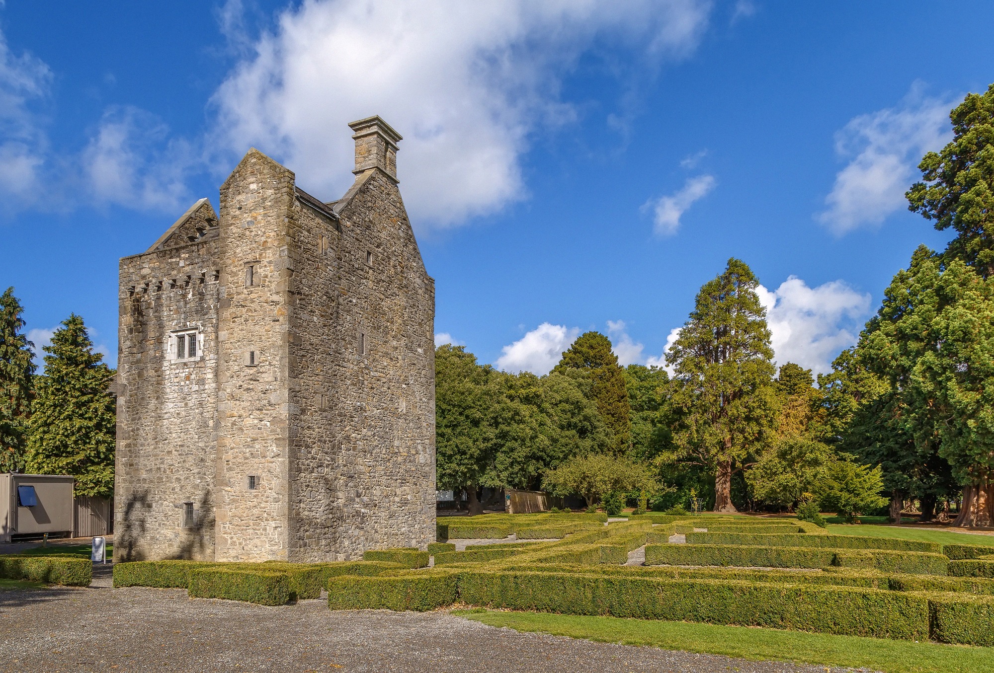
A medieval tower house hidden for centuries inside a Georgian mansion and uncovered in 1989. Free admission, guided tours only.
Phoenix Park
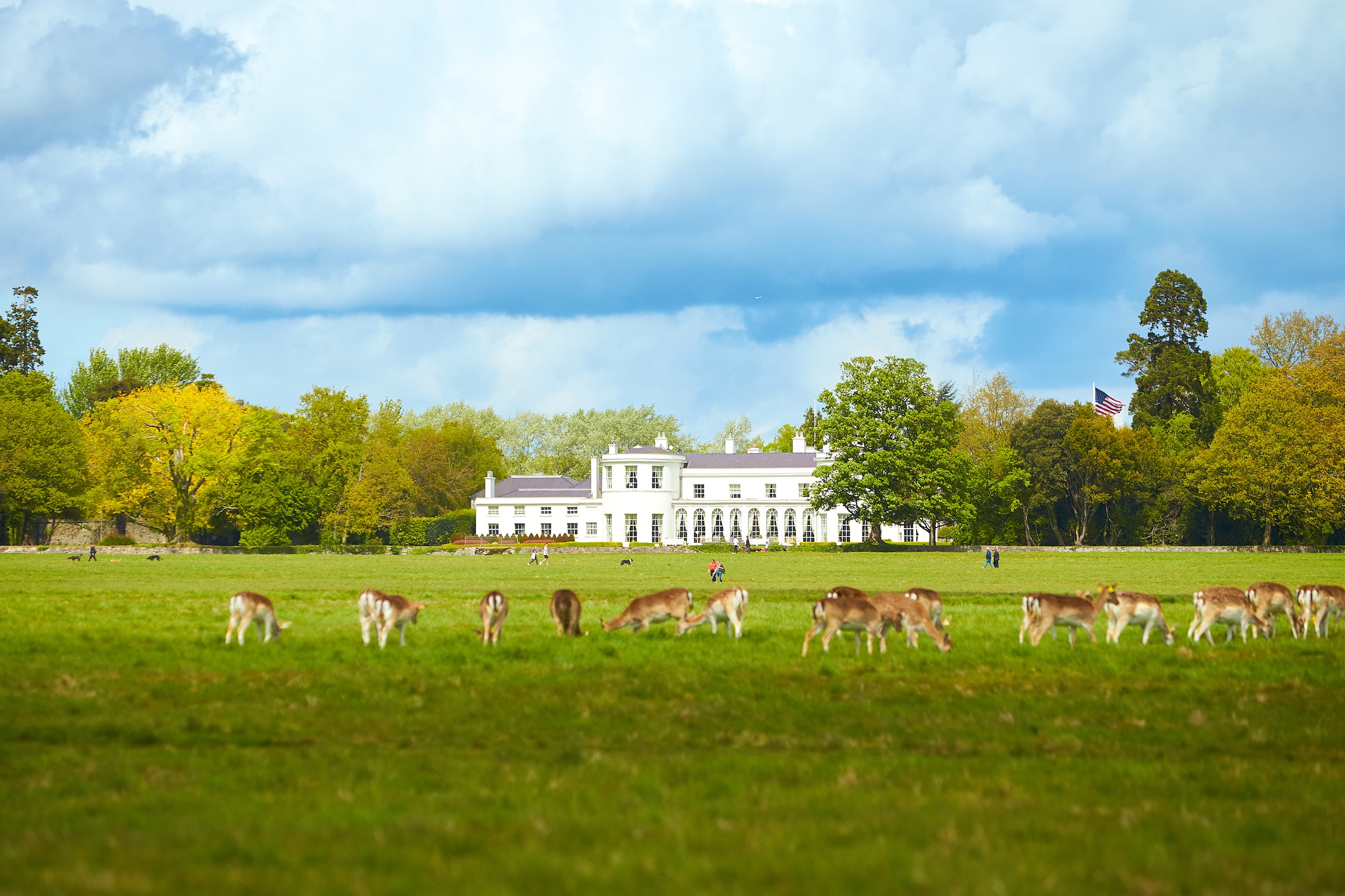
Europe's largest enclosed city park, with around 600 wild fallow deer, Dublin Zoo, Áras an Uachtaráin and Ashtown Castle. Free admission, open around the clock.
Dublin Zoo
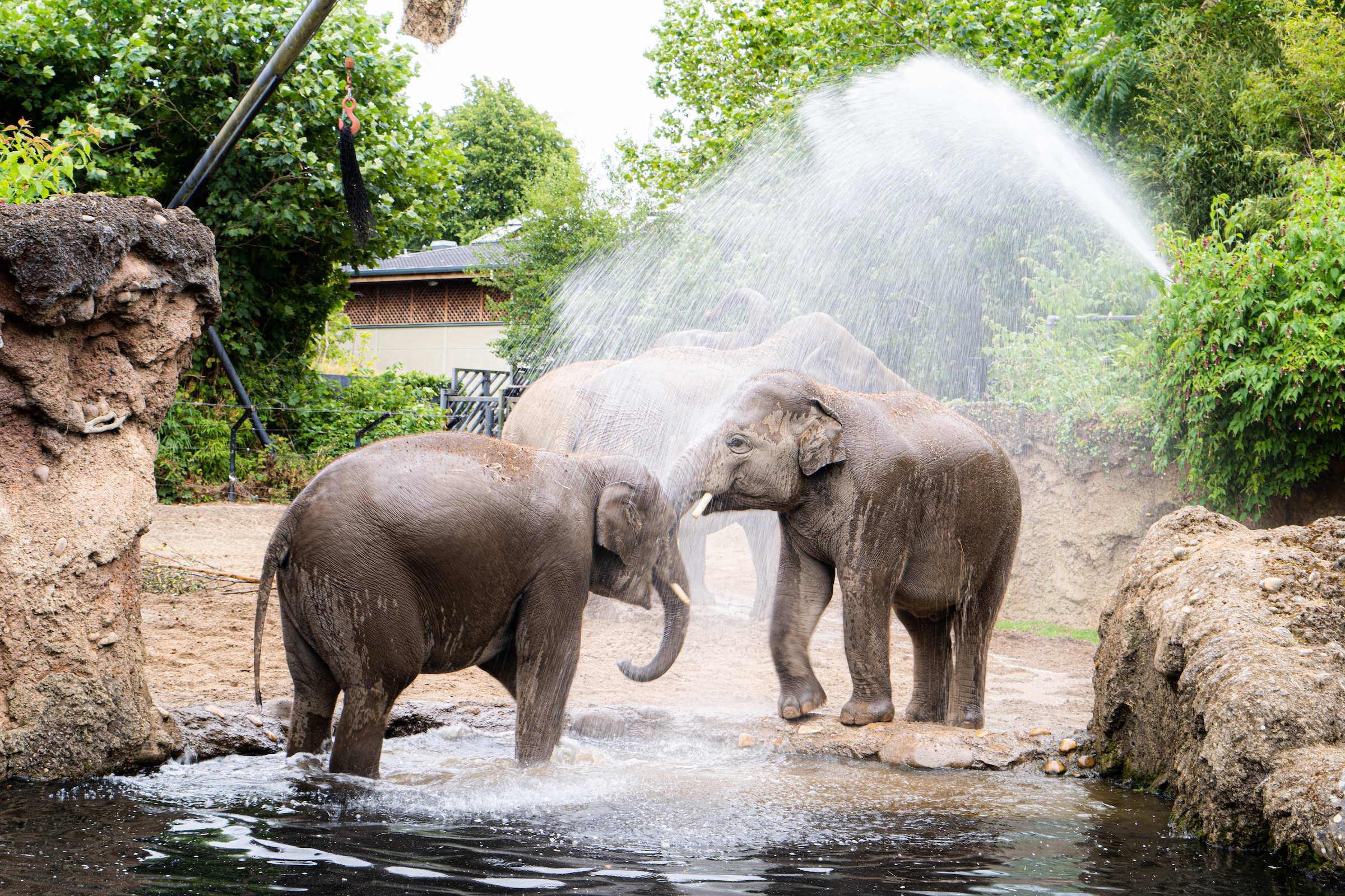
On 28 hectares in Phoenix Park live around 400 animals from 100 species. Opening hours, admission, getting there and tips for your visit.
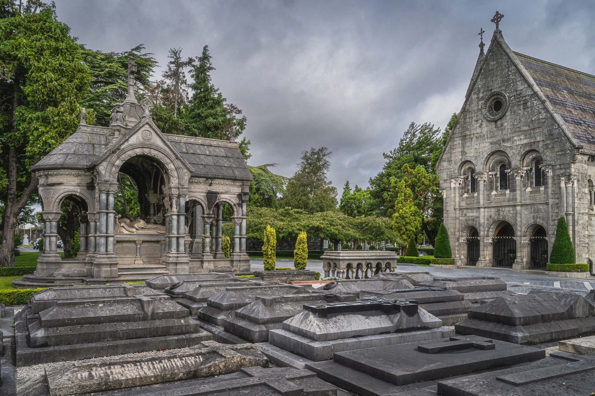
Glasnevin Cemetery
Glasnevin, Ireland's National Cemetery, is the country's largest burial ground, resting place of O'Connell, Collins and Parnell, below its tallest round tower.
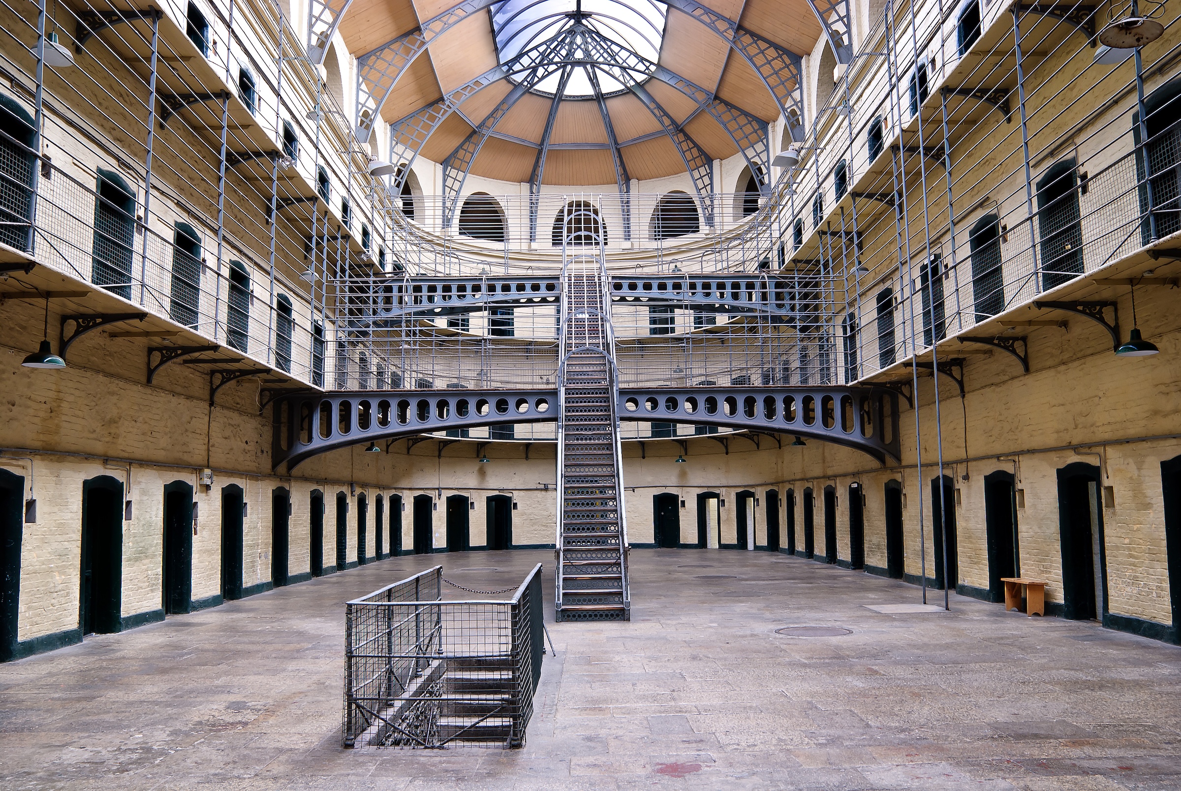
Kilmainham Gaol
Notorious prison where the leaders of the 1916 Easter Rising were held and executed. Visits by one-hour guided tour only, tickets online only.
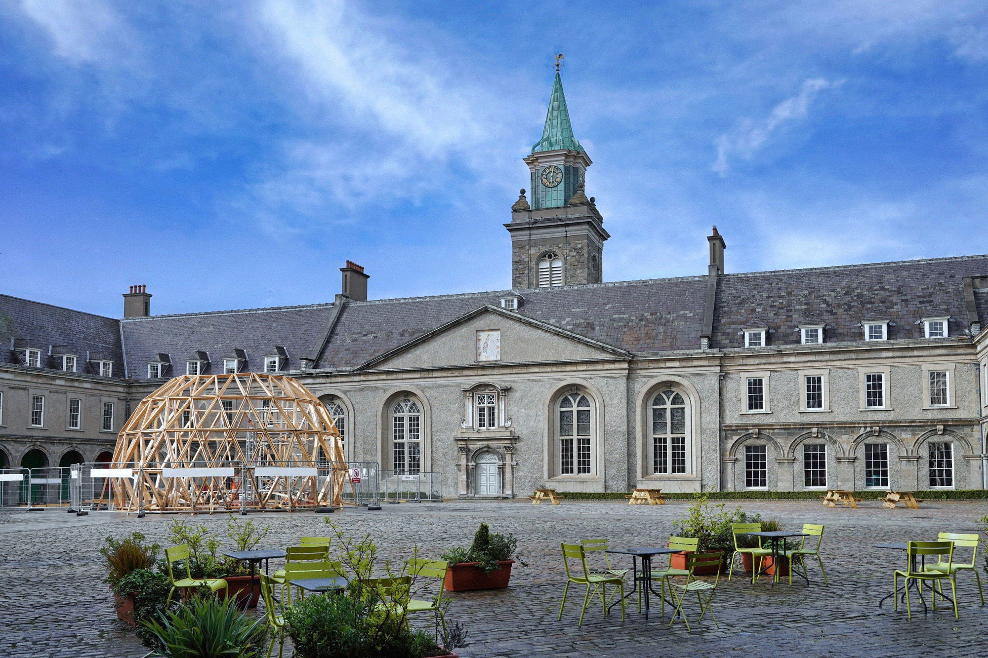
Royal Hospital Kilmainham
Baroque Royal Hospital in Kilmainham, home to the Irish Museum of Modern Art (IMMA). Free entry, plus gardens, sculptures and a summer courtyard programme.